The Great Hydrographic Basins Of The Planet
The world’s largest river basins should not be confused with the most important rivers. The domain of a basin corresponds to all the waters that flow into the same place through the same river that discharges its waters into the sea, the ocean or some large lake.
The largest river basins
The hydrographic basins include a large river and all its tributaries, as well as the area that is delimited by the mountains that surround it. Some are really spectacular. Let’s get to know them.
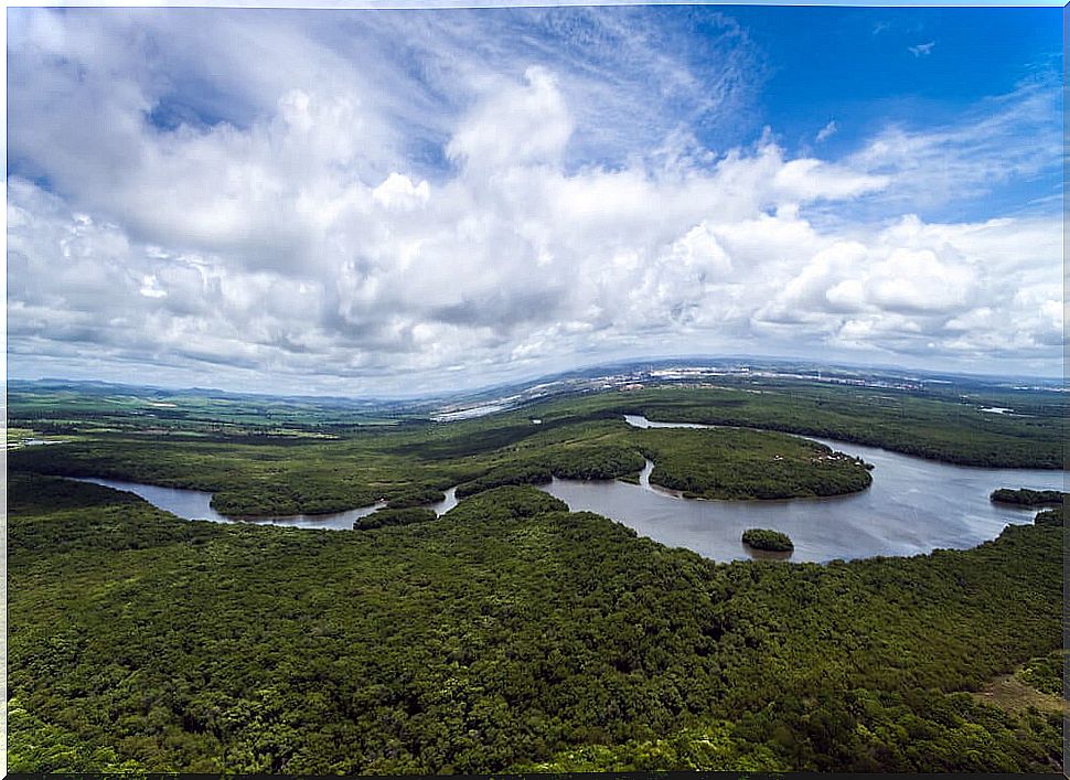
Amazon river basin
The largest river in the world, the Amazon, also gives its name to the largest of the hydrographic basins. We are talking about an immense territory of South America that includes lands of several countries such as Brazil, Venezuela, Guyana, Suriname, French Guiana, Colombia, Ecuador, Peru and Bolivia. They are more than 6 million km², slightly more than the surface of half of Europe.
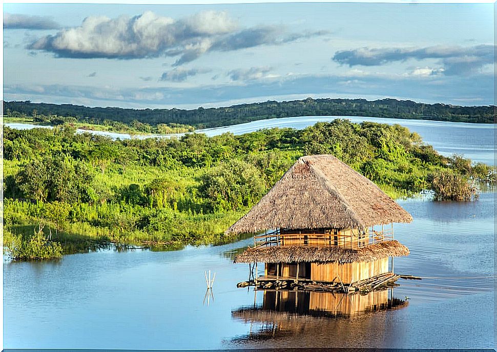
River Plate Basin
We continue in South America and we talk about the second of the largest hydrographic basins in the world. However, in this case it does not drain thanks to one of the largest rivers.
The name of Río de la Plata, in reality, only corresponds to its last stretch, when it looks more like a sea than a riverbed and serves as a border between Uruguay and Argentina. But first, the basin extends through Brazil, Bolivia and Paraguay, covering more than four million km².
Congo river basin
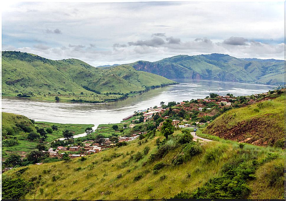
Now we travel to the heart of Africa, where the third of the most important river basins is located, the one that forms the Congo River, which is not really the longest river on the continent.
However, it and its tributaries irrigate a vast territory of 3.7 million km² that includes some of the most impoverished countries in the world, such as the Republic of the Congo and the Democratic Republic of the Congo, in addition to the Central African Republic, Zambia, Angola, Tanzania, Cameroon and Gabon.
Caspian Sea Basin
Now we are going to tell you about one of the hydrographic basins that does not drain into the sea, but into a lake. But not in any one, in the largest lake in Asia and the world: the Caspian. A lake called the sea and where waters flow that have previously bathed the lands of Russia, Kazakhstan, Georgia, Azerbaijan, Armenia, Turkey, Iran, Uzbekistan and Turkmenistan.
Nile basin
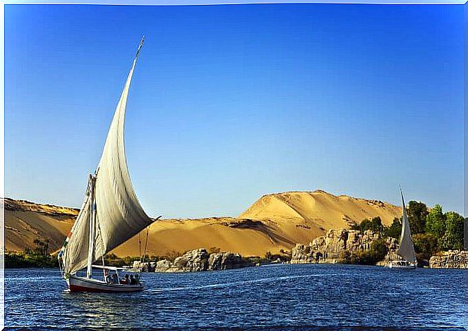
It is curious that the second longest river in the world forms the fifth of the largest hydrographic basins. Of course, it irrigates a not inconsiderable area of 3.25 million km².
It goes from Lake Victoria to the Mediterranean, previously bathing the lands of Tanzania, Kenya, the Democratic Republic of the Congo, Uganda, Rwanda, Burundi, Ethiopia, Sudan, South Sudan, and especially Egypt. In this country the Nile has always been a source of life and today it is one of its most wonderful tourist routes.
Mississippi Basin
An almost similar extension has the basin of the Mississippi River and the Missouri. It is a basin that irrigates the United States in its 3.2 million km² from north to south. In fact, even some of the territory of Canada is included in the basin. In short, one of the most mythical American territories, especially in the states closest to its mouth in the Gulf of Mexico.
Obi River Basin
In the immense Russian steppes also unfolds another of the great hydrographic basins of the world. It is the one that bears the name of the Obi river and that extends for almost 3 million km². It is so wide that it also occupies the territory of Kazakhstan, Mongolia and China.
More stunning watersheds
As a curiosity, we are going to complete the ‘top ten’ of the largest hydrographic basins in the world. And, curiously, the one that occupies number 8 in the ranking is the Yenisei river basin, which runs almost parallel to the previous one, through Siberian and Mongolian lands, including the unique Lake Baikal.
And the ninth and tenth positions correspond respectively to the Lake Chad basin in Africa, and, again in Russian territory, to the Lena river basin, which like the previous ones flows into the Kara Sea, or what is the same , the Arctic glacial ocean.